
Engineering Category
Hydrogeological Survey
Service Overview
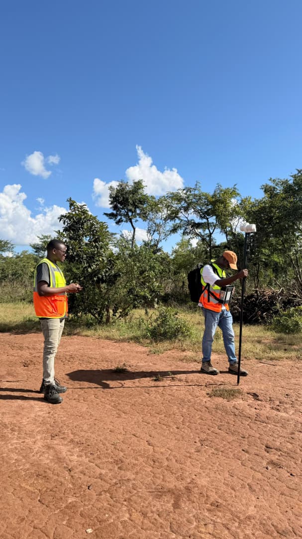
"Identify stable ground, flow direction, and aquifer zones via magnetic anomalies and elevation models."
The survey integrates magnetic anomaly analysis, elevation modelling, and hydrogeological interpretation to identify stable ground conditions, groundwater flow direction, and potential aquifer zones.
This information is essential for designing effective seepage control systems, drainage structures, and groundwater monitoring programs to prevent contamination of surrounding water resources and ensure long-term environmental protection and structural stability of the facilities like Tailings Storage Facility (TSF) and dams.
Request a Quote
Contact our technical staff to receive a tailored engineering proposal and equipment rental timeline.
Inquire NowRelated Capabilities
-
Civil & Structural Engineering
Detailed structural design and construction supervision of commercial and industrial buildings.
-
Geotechnical Investigation
Evaluate strength, stability, and permeability of soil/rock materials to guide TSF foundation design.
-
Hydrology Study
Assess rainfall, runoff, drainage, and flood risks for safe stormwater design in mine operations.
Technical Helpdesk
Case Studies
Completed Studies in This Category